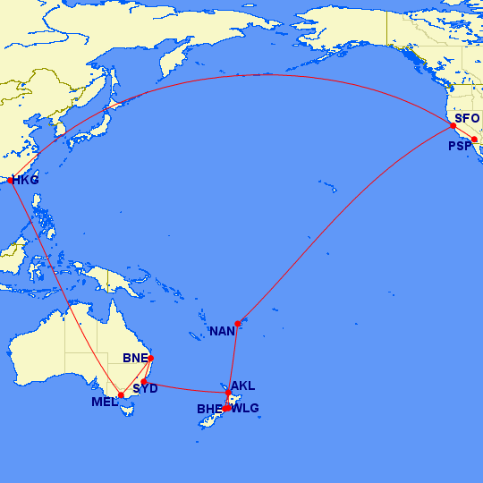
Mercator was a cartographer who laid the land masses on paper to translate a round world into a flat visual.
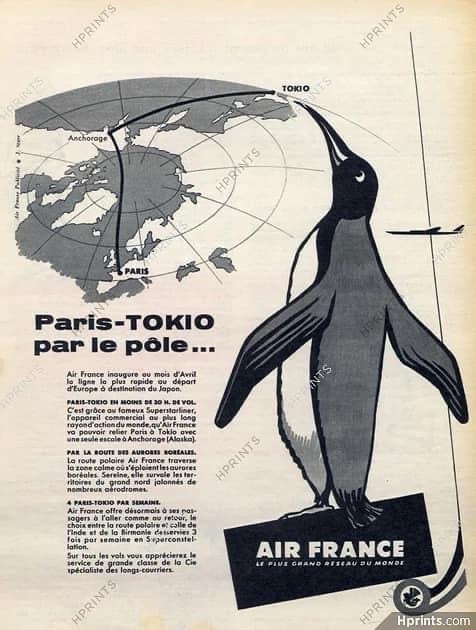
Distances and sizes were distorted, but essentially, you got the picture. Airlines used these maps extensively to acquaint passengers with their travel geography.

The Great Circle routes, trans Polar, generally, showed that it was closer to fly from Seattle to Tokyo, then the vast expanse of the Pacific, from, for example Los Angeles, cutting miles off your journey.

